Not another bloody weather app! But the Windy Weather Forecaster is no ordinary weather app. Let me tell you why.
As caravanners, having access to good, accurate weather information is extremely useful. For instance, being able to see which way the wind will be blowing on any given day means you can avoid days where you might be driving into a strong headwind or a crosswind. Not only does this help you to save fuel, but it can also make towing safer.
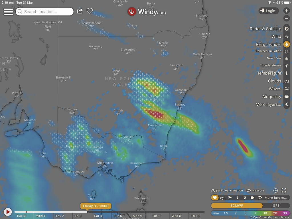
Windy is an app that graphically displays wind and other weather forecast data for anywhere in the world. While it’s true you can access weather data from any weather website or app, Windy differs with its ability to show you forecast information up to 15 days ahead in four-hourly intervals. That is extraordinary detailed and incredibly useful for planning your travels.
It gets better. You can zoom in on the map to display the weather data to extremely precise locations. For instance, if you want to see the wind direction forecast for a township the size of Katherine in the Northern Territory, you can. The weather data’s resolution is incredibly detailed.
To achieve this, Windy sources its weather data from a variety of weather models, but the principal source is the European Centre for Medium Range Weather Forecasts or ECMWF. The data it provides is one of the most highly regarded sources used by meteorologists and navigators around the world. They are able to provide weather detail down to a 9km resolution, the highest available in the world.
The ECMWF operates one of the largest supercomputer complexes in Europe and holds the world’s largest archive of numerical weather prediction data. To have access to this data via an Android or iOS app on any smart device is a staggering accomplishment.
Best of all – it’s a free app!
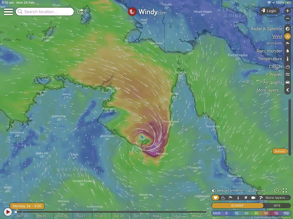
We’ve been using Windy for some time, but it’s only been in recent weeks that we have come to appreciate its weather forecast abilities. We’ve been travelling in the northern parts of the country during the monsoon build-up, and tropical cyclones were a risk. We had to contend with cyclone Esther, which threatened to stop us in our tracks with predicted torrential rain and associated flooding across the Top End.
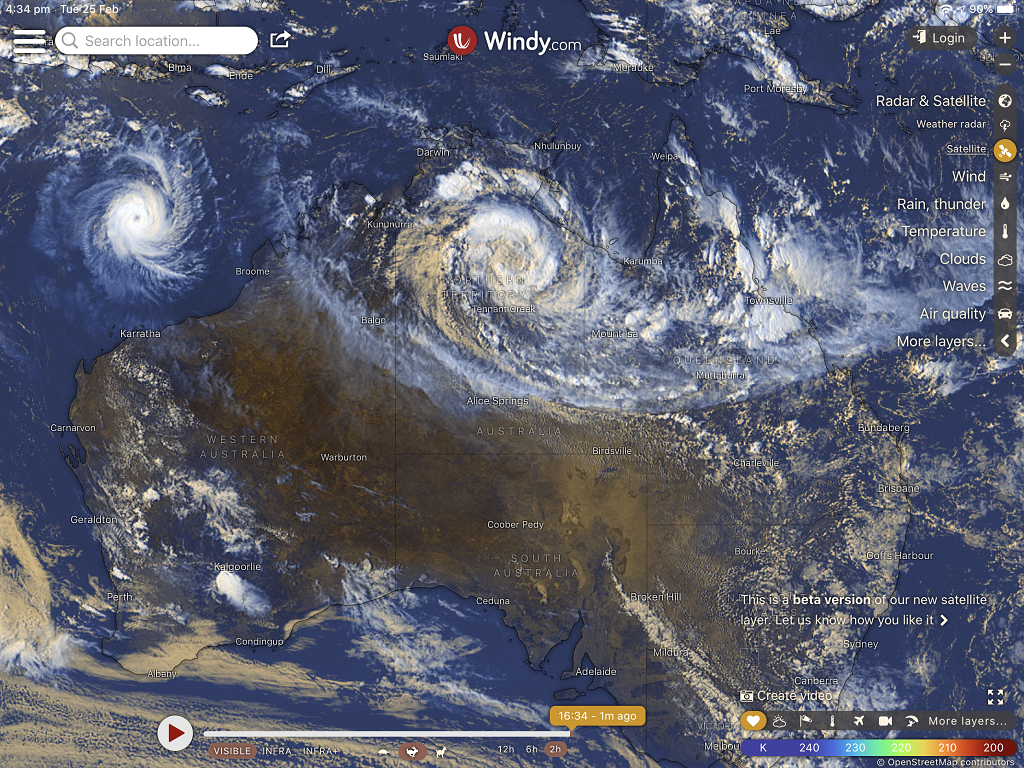
By using Windy to predict the path of the cyclone, we were able to anticipate where and when the heavy rain would fall, where flooding was likely to occur and plan our trip accordingly. As a result, we were not stranded in any location due to flooding and road closures. We could see where and when the strongest winds would affect our location and ensure we were not in any danger.
When you combine the information from Windy with data from the Bureau of Meteorology, weather warnings on public broadcast and state-based road condition websites, you have a compelling set of tools that are easy to use and simple to understand. There is no excuses for being caught out as a result of poor or extreme weather.
Windy’s usefulness extends to all your other activities as well. If you’re into boating, coastal fishing or surfing, Windy can show you wave and swell forecasts, including the direction the waves and winds will be hitting the shore.
If you’re into winter sports like skiing and snowboarding, Windy will show you forecast snow accumulation data for up to 10 days. For people with asthma and other respiratory illnesses, Windy can display various types of air quality data with similar 10-day forecasts.
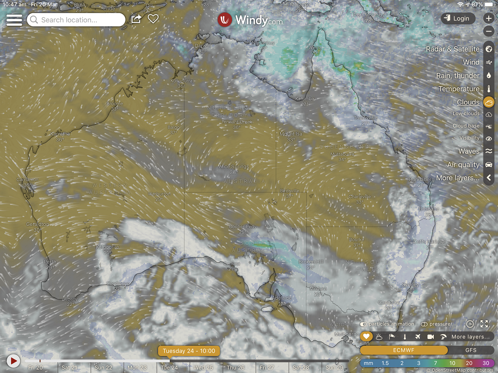
If you mainly free-camp and you rely on solar to recharge your batteries, Windy can display cloud cover forecasts so you can anticipate and avoid locations where solar generation is likely to be impeded. The applications are endless.
All the data would be pretty useless if it were difficult to access and interpret. Fortunately, Windy is child’s play to use and understand. The data is displayed visually on a map that can be zoomed in and out with ordinary two-finger operation on a touchscreen. All the various functions are on a visual menu on the right of the main screen. Additional user settings are available through a drop-down menu.
Windy is one of those applications that you keep finding more and more uses every time you use it. It is constantly being upgraded with additional features and more accurate data sources. I guarantee it will become one of your most useful trip planning tools.
For more information about Windy, click here
For Apple click here
For Android click here