Published on: 8 January 2026
LIVE RECOVERY UPDATE (17 Jan, 2026) From Fire to Flood. A record-breaking “rain bomb” has devastated the Surf Coast, sweeping caravans out to sea at Wye River. The Great Ocean Road remains CLOSED between Lorne and Skenes Creek due to a major sinkhole at Cumberland River Bridge. While recovery begins on the coast, a State of Disaster remains for inland regions as bushfires continue to flare.
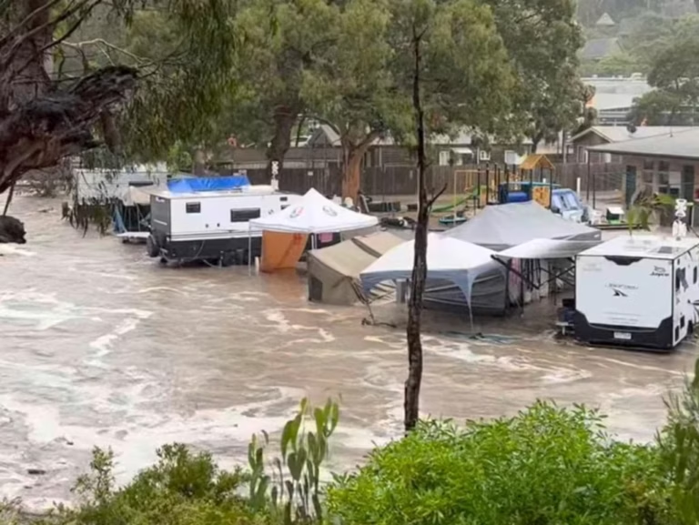
If you’re currently holidaying in Victoria, nature has just delivered an extraordinary double-blow that has left our community in shock. Following the catastrophic fire alerts earlier this week, the Surf Coast was hit by a “tsunami-like” wall of water after 186mm of rain fell in a single day—shattering 140-year-old records. The situation has pivoted from a fire emergency to a life-threatening flood disaster, with emergency winches from rooftops and heartbreaking scenes of family caravans being swept into the ocean at Wye River.
On Thursday afternoon, a massive storm cell over the Otway ranges unleashed a “rain bomb” so intense that 115mm fell in just 60 minutes at Mount Cowley. The sheer volume of water triggered instant flash flooding through Wye River, Kennett River, and Cumberland River. The Lorne Historical Society reported the river in Lorne rose 2.5 metres in just one hour.

The impact on our RV community is simply devastating. At Wye River, approximately 1,500 people were evacuated to the local pub, where “strangers were hugging strangers” as they watched their vans float away. Up to 12 cars and multiple caravans were swept into the surf at Cumberland River. In one remarkable rescue, emergency crews winched an 88-year-old hiker and her dog to safety from the rising torrents.
The recovery process will be a long road for many of our favourite summer spots. Authorities have confirmed that Cumberland River Caravan Park was the most severely damaged, with cars lodged under bridges and significant silt build-up. The park remains inaccessible and is not expected to reopen until February 2026.
At Erskine River Caravan Park, the damage was less significant. Operators have begun contacting guests to arrange for the collection of personal items and vehicles. If you were staying at any Surf Coast park, please ensure your contact details are registered with the operator to receive updates on your property.
The Great Ocean Road is closed between Hird Street, Lorne and Skenes Creek. A major sinkhole has formed at the Cumberland River Bridge, and engineers are currently conducting safety inspections.
| Location | Emergency Status | Action Required |
|---|---|---|
| Lorne | Open for business | Cafes and shops are open; locals appreciate your support. |
| Wye River | Recovery in progress | Register with Register.Find.Reunite if displaced. |
| Princes Highway | Open | Must use Princes Hwy via Colac; expect heavy congestion. |
| Inland Routes | Active Works | Deans Marsh-Lorne Rd is open but drive with extreme caution. |
While the coast is reeling from rain, the threat of fire has not left us. More than 410,000 hectares have already burned this season. Major fires near Walwa and Longwood remain active, and meteorologists warn that gusty winds could cause these fires to flare again despite the humidity elsewhere. A State of Disaster remains in place for 18 Local Government Areas, with more than 1,500 parks still closed.
⚠️ CAUTION: Floodwaters are likely contaminated. The EPA and SES advise keeping your pets away from all floodwater and beaches near river mouths where debris is washing up.
The 2026 Victorian emergency has been a summer of heartbreak, but as many campers at Wye River noted, “the worst events bring out the best in people”. If you’ve lost your van, our hearts go out to you. For everyone else, the best way to help is to stay informed, stay away from the active emergency zones, and support the local businesses in Lorne once the roads safely reopen. Stay safe, look out for each other, and we’ll see you back at your favourite river spot when the recovery is complete.
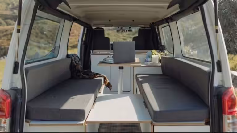
Important safety gear and accessories to sort before your big trip
Do you have these safety alarms in your caravan or motorhome?
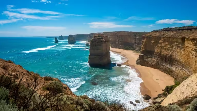
You’ll soon have to pay to see the Twelve Apostles – fair enough or a step too far?